Form cover
Page 1 of 5

Building a Resilient Shoreline: Protecting the Hayward Eden Area from Rising Seas

The Hayward Eden Area Shoreline Resilience Collaborative is a joint effort to safeguard the Hayward Eden Area shoreline - a vital landscape of tidal marshes, trails, and wildlife that shields nearby neighborhoods and infrastructure from flooding. Facing up to three feet of projected sea level rise, the Collaborative is pioneering nature-based solutions like horizontal (“living”) levees that combine flood protection with habitat restoration, water quality improvement, and public recreation. Through the HASPA Shoreline Adaptation Implementation Plan, the First Mile Horizontal Levee, and the Hayward Nature-Based Solutions Project, local agencies and community partners are creating a unified, innovative model for climate adaptation that enhances resilience while restoring the Bay’s natural ecosystems.

https://storage.tally.so/4c03bed1-eb89-44cb-a8d0-bd29b0d9c701/8.5x11-Project-Map.jpg
The Hayward Eden Area Shoreline Resilience Collaborative consists of Hayward Shoreline Area Planning Agency (HASPA), Hayward Area Recreation Department (HARD), San Francisco Estuary Partnership, East Bay Dischargers Authority, Plantify, Teach Earth Action, Greenbelt Alliance and the Watershed Project, as well as the consultant teams for each of the three Hayward Area Shoreline projects.

Three Projects Protecting the Hayward Area Shoreline

HASPA Shoreline Adaptation Implementation Plan

The Hayward Area Shoreline Planning Agency (HASPA) - a Joint-Powers Authority that convenes the City of Hayward, East Bay Regional Park District, Hayward Area Recreation and Park District, and Alameda County Mosquito Abatement District - is advancing a unified vision for shoreline resilience. With funding from the U.S. Environmental Protection Agency, the San Francisco Estuary Partnership (SFEP), and HASPA, this project brings together a team of designers, engineers and planners to work with local agencies and community members to develop an implementation strategy for the 2021 Shoreline Adaptation Master Plan, research governance structures to improve collaboration, and prioritize over 20 potential capital projects. This work lays the foundation for coordinated, long-term investments in flood protection and ecological restoration across the entire Hayward shoreline. This 18-month planning project is anticipated to conclude in January 2027

The First Mile Horizontal Levee

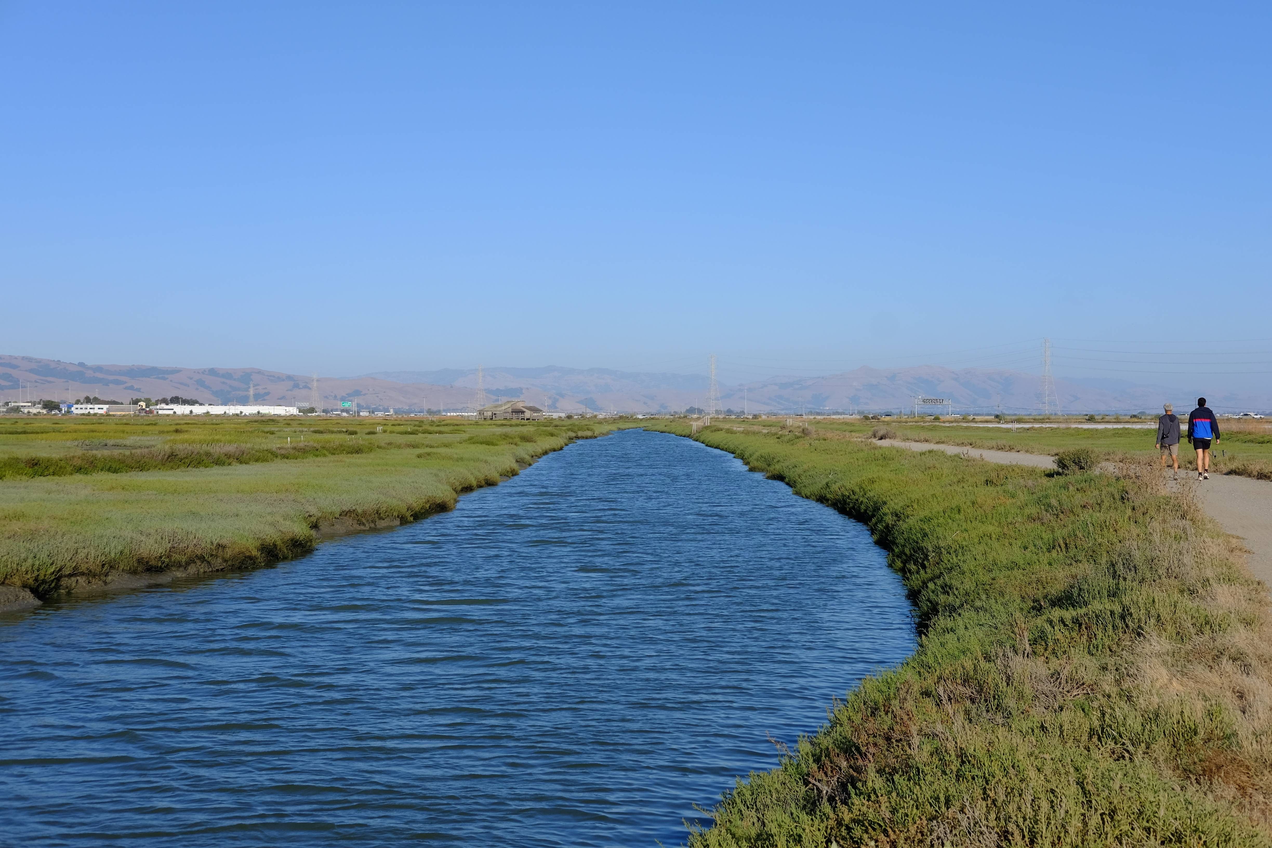
Located along the Oro Loma Marsh between Bockman Canal and Sulphur Creek, the First Mile Horizontal Levee is a groundbreaking project and the first full-scale “living levee” in the Bay Area that is designed to improve water quality while enhancing sea level rise resilience. Led by the East Bay Dischargers Authority (EBDA) in partnership with SFEP and a team of engineers and designers, the project transforms a conventional levee into a horizontal levee that absorbs tidal energy and reduces flooding, restores marsh habitat for wildlife, filters wastewater treatment to improve water quality, and adds recreation opportunities like new trail segments. The First Mile proves that innovative design can deliver multiple benefits—protecting people, enhancing ecosystems, and creating accessible open space for all. A 60% design for the levee is expected to be completed in Summer 2026.

Hayward Nature-Based Solution Project

At the Hayward Water Resource Recovery Facility (WRRF), the City of Hayward is planning a Nature-Based Solutions Project that integrates water treatment, flood protection, and habitat restoration. The concept includes converting the WRRF’s former oxidation ponds into treatment wetlands that reduce nitrogen discharged into the Bay, improving water quality and supporting wetland habitat. A new living levee along the bayward edge provides flood protection while creating a transition zone where plants and wildlife can migrate as sea levels rise. Plans also envision integrating new trails along the levee to expand recreation opportunities and access to nature. A concept design for the wetland and levee system is expected in Fall 2026.